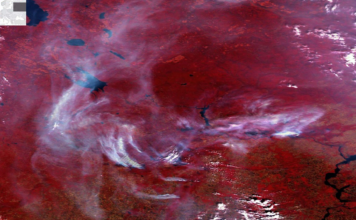
Smoke
A collection of smoke plume images captured by the SPOT-VGT satellites.

DUST
Desert dust images from SPOT-VGT.

SPOT-VGT monitored our planet's land surface for 16 years (1998 - 2014) on a daily basis and provided surface reflectance and NDVI, valuable for various applications, such as agriculture, land cover classification, agricultural monitoring and food security, and forest monitoring.